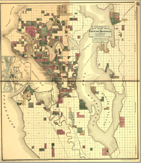
Seattle is a city known for its unique neighborhoods and the communities that are in the vicinity of SR 520, from I-5 to the west to Medina in the east, are among the city’s most distinctive. Between 1851 and 1915, the rapid growth of the city and expansion of the coal and timber industries led to the early development of these neighborhoods.
In the late 1800s, the city began to expand to the area at the south end of Lake Union, which was one of Seattle’s early industrial centers. A few scattered settlers and speculators developed land on the lake during the 1860s. In the 1870s, sparked by progress in the burgeoning coal industry, industrial development increased. Prior to this time, vast quantities of high-quality coal were identified near Newcastle, but a lack of transportation infrastructure made it too costly to mine and export from Seattle. This condition changed with the completion of the Seattle Coal and Transportation Company’s transport system in 1871, which consisted of coal cars moved by both railroads and barges to Seattle’s wharves. Almost overnight, a small city sprung up at an important junction in the system on the south end of Lake Union, located near Westlake Avenue and Roy Street. Still, the system was unwieldy and expensive, requiring that coal be transferred many times between railroads and barges before it reached its final destination in Elliott Bay.
Industrial development in Seattle and around Lake Union continued to increase in the 1880s with the arrival of the transcontinental railroad in 1887. The railroad fostered new investment in the city’s infrastructure and intensive extraction of regional coal and timber resources. During this time, railroads, electric street cars, and boat launches made the entire eastern shoreline of Lake Union accessible for the first time.
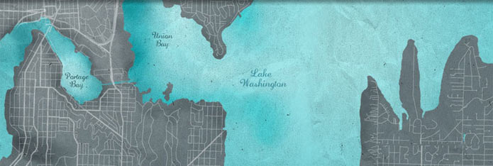
As the neighborhoods developed, city leaders, influenced by the City Beautiful movement, recognized the need to provide parks and boulevards for local residents. In 1903, John Charles Olmsted developed a plan for Seattle's park and boulevard system to take advantage of Seattle's landscape, including Lake Washington, forested parks, and views across the lake and of distant mountains.
At the beginning of this era, neighborhoods and communities in what would become the SR 520 corridor were generally populated by small farms that provided produce, milk, and meat to Seattle’s markets. By 1915, communities became towns because of their steamer connections, and in-city farms and forests were subdivided into residential neighborhoods, served by streetcars and a newly developed network of streets. Although technically prohibited from living in Seattle, some Indians continued to live and work in the city.